

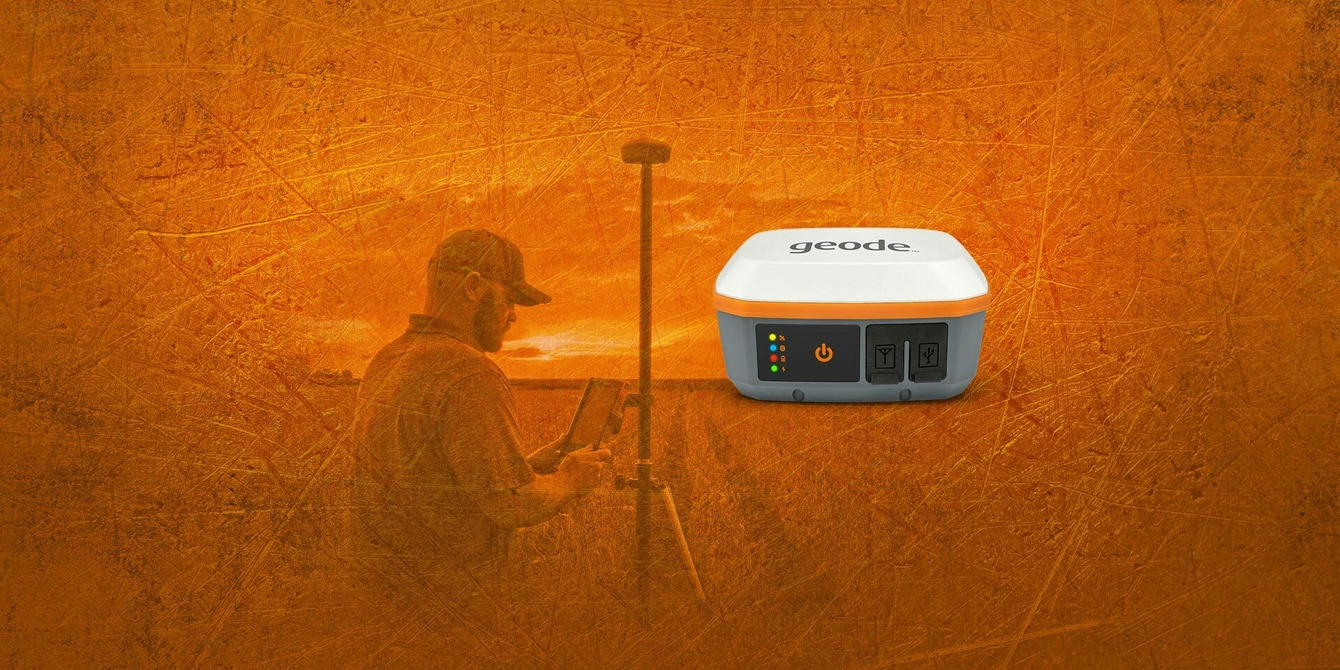
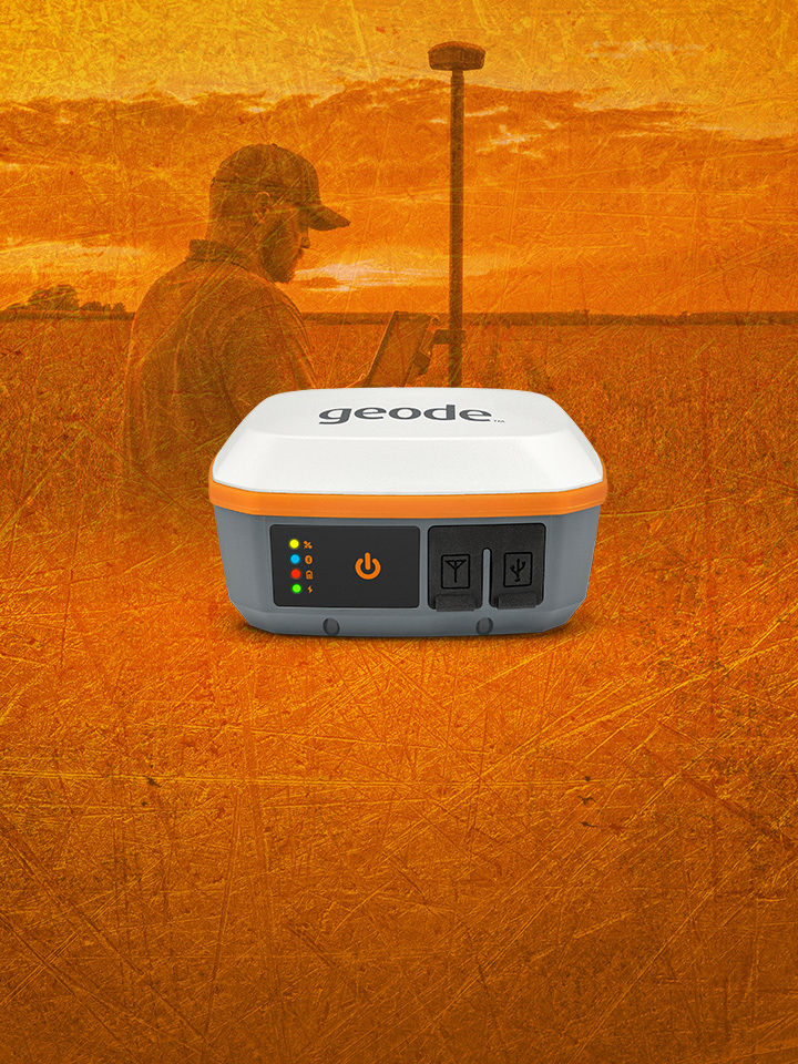
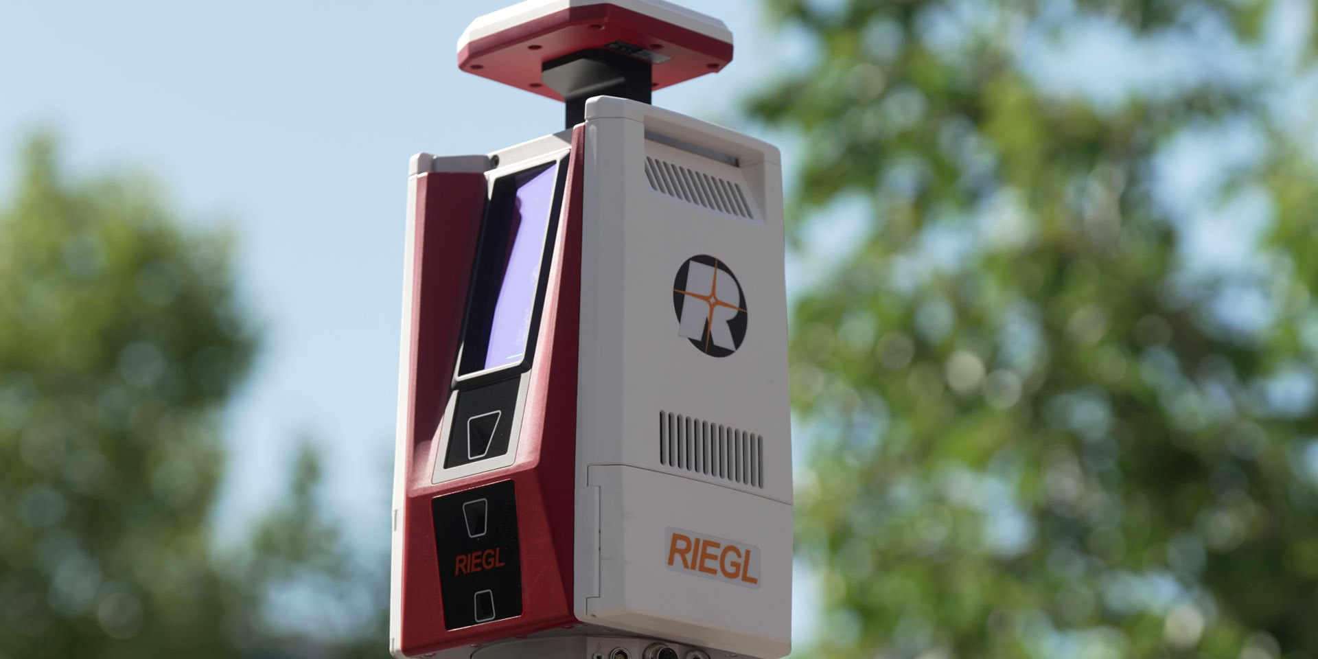
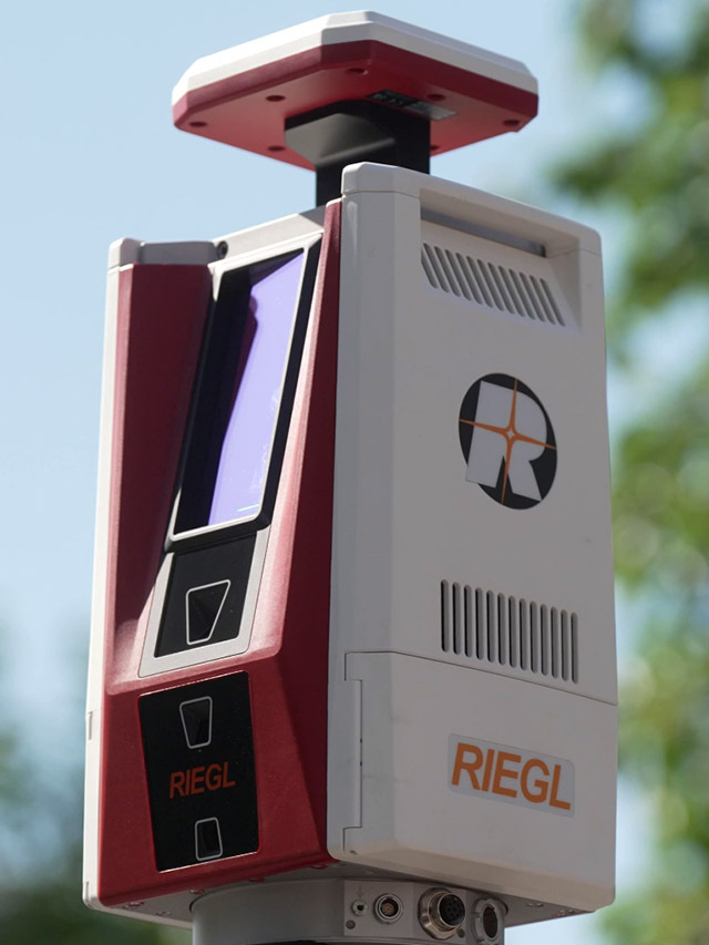

New RIEGL Laser Scanning Solutions for UAV-based Surveying
Latest news
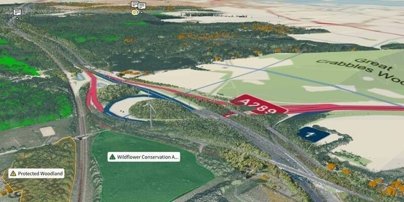
Ordnance Survey And Sensat Collaboration Will Redefine Standards Of Data Visualisation
18th April 2024
Ordnance Survey And Sensat Collaboration Will Redefine Standards Of Data Visualisation
New Chairs Announced at Association for Geographic Information
18th April 2024
New Chairs Announced at Association for Geographic Information
World Hydrogen North America doubles in size to keep pace with exponential growth of hydrogen industry
17th April 2024
World Hydrogen North America doubles in size to keep pace with exponential growth of hydrogen industry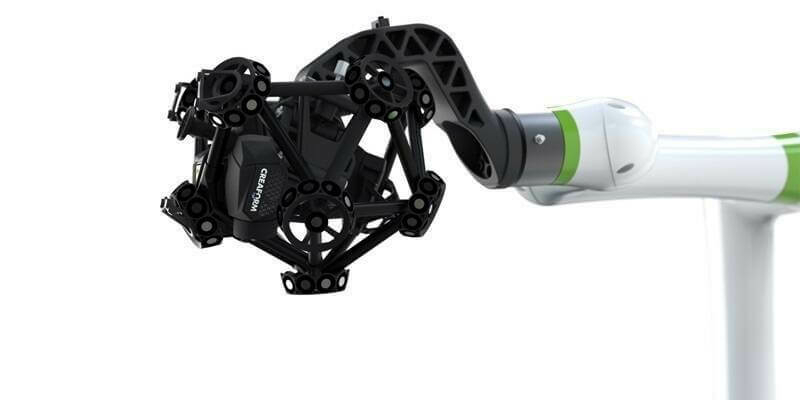
Creaform Is Making Automated Quality Control Accessible with a New, Versatile and Intuitive Hybrid Solution
17th April 2024
Creaform Is Making Automated Quality Control Accessible with a New, Versatile and Intuitive Hybrid SolutionVideos
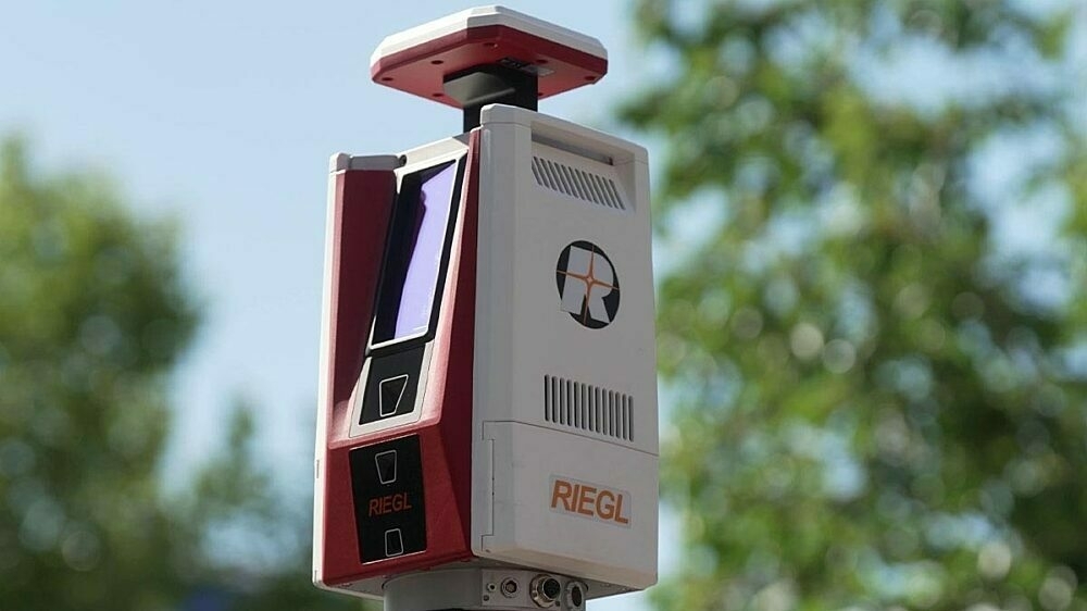
RIEGL VZ-600i: High Speed Laser Scanning for Professionals
12th October 2023
RIEGL VZ-600i: High Speed Laser Scanning for Professionals

KOREC Group unveils new customer-centric Mission Statement
18th April 2023
KOREC Group unveils new customer-centric Mission StatementIn Depth

Chennai growth maps blueprint for rural-urban areas in Global South
17th April 2024
Chennai growth maps blueprint for rural-urban areas in Global South
From tape measures to space lasers: Quantifying biomass of the world's tallest forests
16th April 2024
From tape measures to space lasers: Quantifying biomass of the world's tallest forests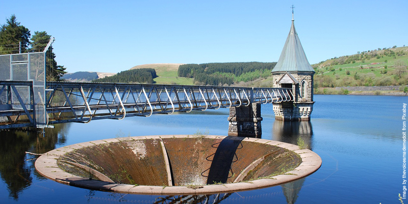
New water planning tool can forecast supply and demand issues up to 2055
4th April 2024
New water planning tool can forecast supply and demand issues up to 2055Events

24-26
Sep
INTERGEO 2024
INTERGEO 2024
11-12
Sep
Space-Comm Scotland
Space-Comm Scotland
08-10
Aug